It is located in Snityn village, Snityn Village Council, Lubny district, Poltava region, in the north-eastern part of the village, in Burty and Horodok natural landmarks.
The site has been known since the end of 19th c., it was examined by V. H. Liaskoronskyi (the beginning of 20th c.), F. B. Kopylov, M. P. Kuchera, and O.V. Sukhobokov (1971); Yu. Yu. Morhunov. Excavations were conducted by M. O. Makarenko
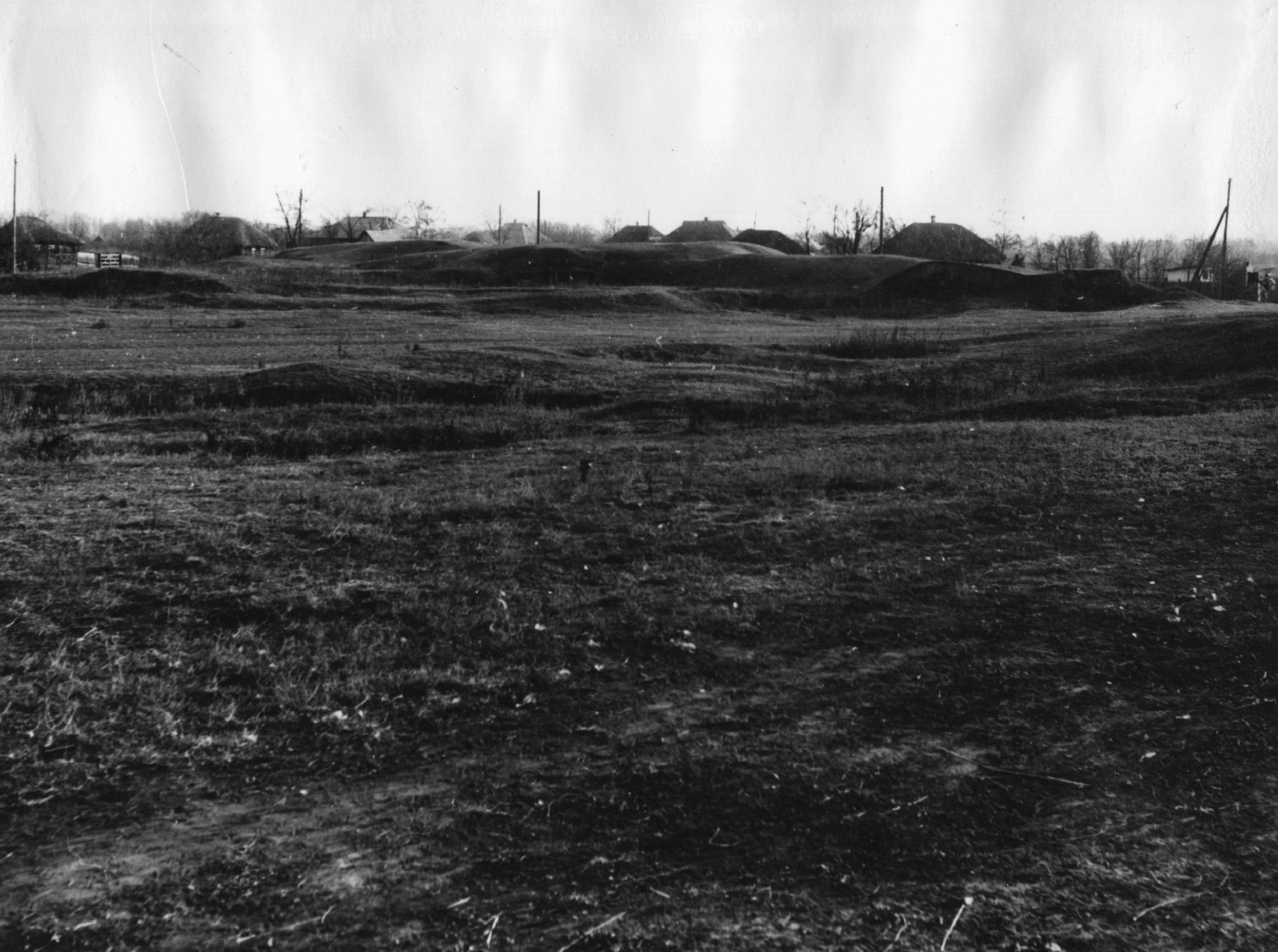
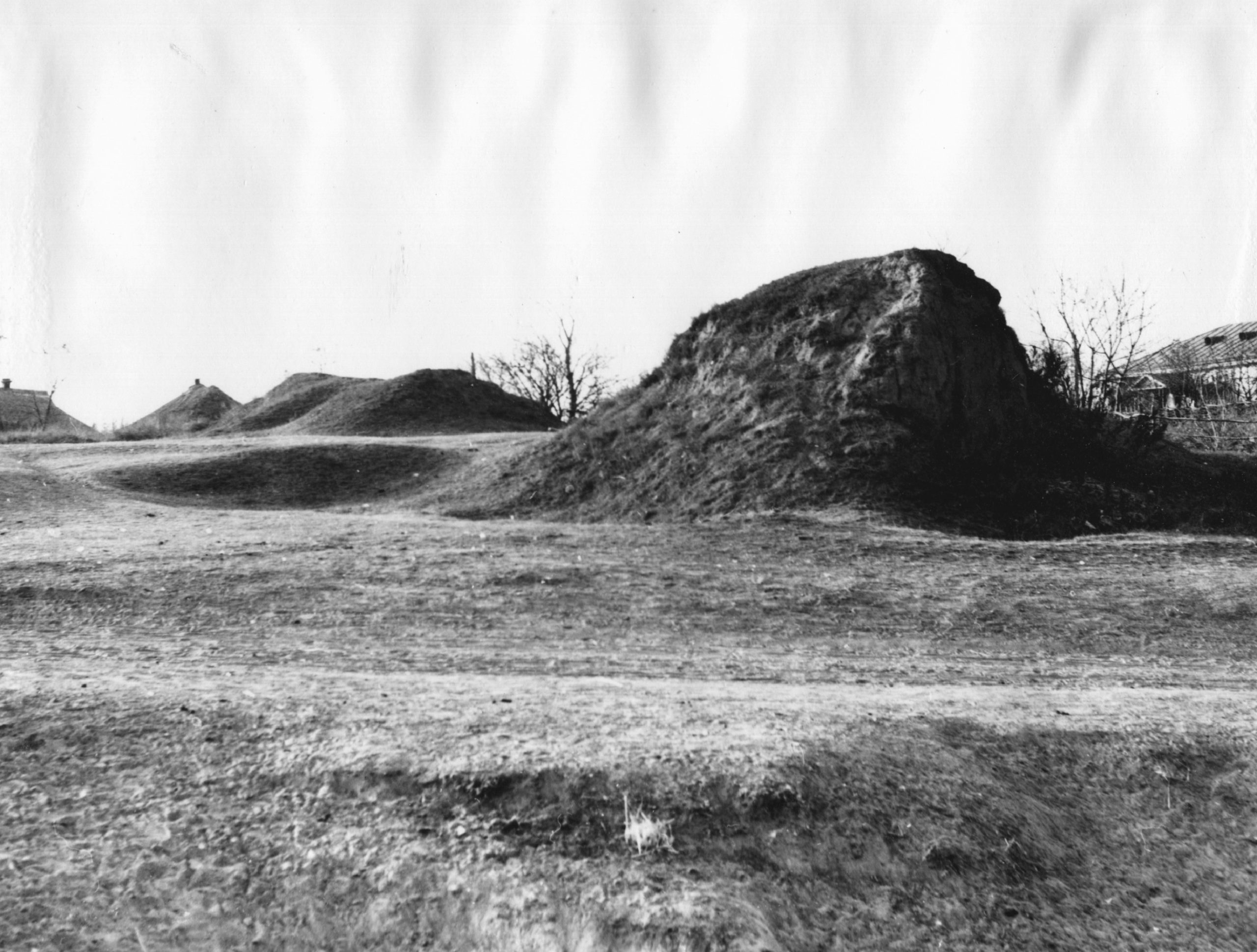
Snityn fortified settlement is identified with the chronicle town of “Ksniatyn”. The remains of fortification occupy the edge of the right bank of the Sula River. The square has round shape on the plan with diameter of 170m and the area of 2.24 ha. It is protected by 4m high breastwork and a ditch. Currently the site is partially destroyed by the construction of the motorway. The cultural layer is 1.0 m long and it was damaged by saltpeter production. Among the massive of Romen and Old Russian findings one should distinguish: an iron axe, an iron key from the hall and a fragment of Chersonese vase. All these findings belong to Old Russian period.
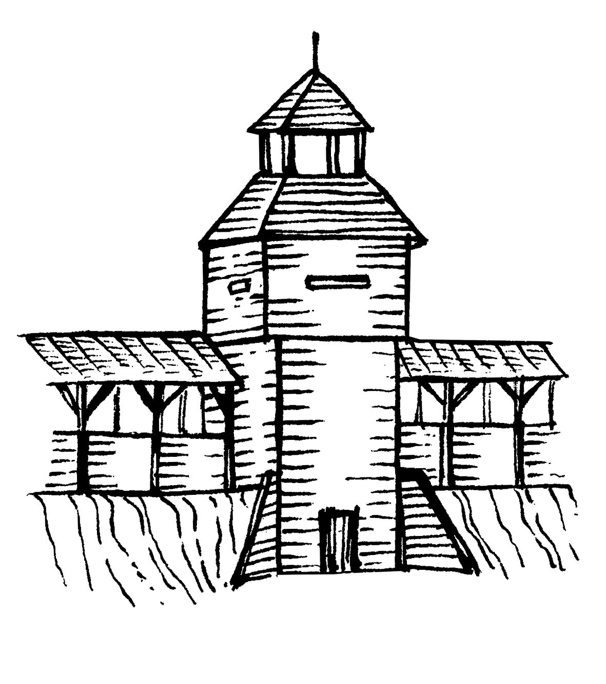
The township occupied the territory from the side facing the enemy in a semi-circular shape.
The burial mound was located in the central part of the village and is currently destroyed due to the village construction and village park redevelopment. Earlier, in 19th it counted for 700 kurgans.
The chronicle town of “Ksniatyn” is mentioned in Volodymyr Monomakh’ Homily, The List of Old-Russian Cities and other later documents.
4th –3rd, 1st millennium BC, 9th – 14th, 16th – 18th cc., the Chalcolithic Age – the Bronze Age, the Scythian times, Romen culture, the Kyivan Rus period, late Ukrainian Middle Ages.
It is located in Snityn village, Snityn Village Council, Lubny district, Poltava region, in the north-eastern part of the village, in Burty and Horodok natural landmarks.
The site has been known since the end of 19th c., it was examined by V. H. Liaskoronskyi (the beginning of 20th c.), F. B. Kopylov, M. P. Kuchera, and O.V. Sukhobokov (1971); Yu. Yu. Morhunov. Excavations were conducted by M. O. Makarenko
Snityn fortified settlement is identified with the chronicle town of “Ksniatyn”. The remains of fortification occupy the edge of the right bank of the Sula River. The square has round shape on the plan with diameter of 170m and the area of 2.24 ha. It is protected by 4m high breastwork and a ditch. Currently the site is partially destroyed by the construction of the motorway. The cultural layer is 1.0 m long and it was damaged by saltpeter production. Among the massive of Romen and Old Russian findings one should distinguish: an iron axe, an iron key from the hall and a fragment of Chersonese vase. All these findings belong to Old Russian period.
The township occupied the territory from the side facing the enemy in a semi-circular shape.
The burial mound was located in the central part of the village and is currently destroyed due to the village construction and village park redevelopment. Earlier, in 19th it counted for 700 kurgans.
The chronicle town of “Ksniatyn” is mentioned in Volodymyr Monomakh’ Homily, The List of Old-Russian Cities and other later documents.
4th –3rd, 1st millennium BC, 9th – 14th, 16th – 18th cc., the Chalcolithic Age – the Bronze Age, the Scythian times, Romen culture, the Kyivan Rus period, late Ukrainian Middle Ages.
Read moreПам’яткоохоронна інформація
Monument protection information
Пам’ятка археології місцевого значення.
Наказ Міністерства культури, молоді та спорту України № 1062 від 25.02.2020 р.
охоронний номер 2482-Пл.
snityn-snitenske-gorodyshhe-pasport-1.pdfПам’ятка археології місцевого значення.
Наказ Міністерства культури, молоді та спорту України № 1062 від 25.02.2020 р.
охоронний номер 2482-Пл.
snityn-snitenske-gorodyshhe-pasport-1.pdfФотогалерея
Gallery
Снітин, с. Снітинське городище давньоруського часу.
Снітин, с. Снітинське городище давньоруського часу.