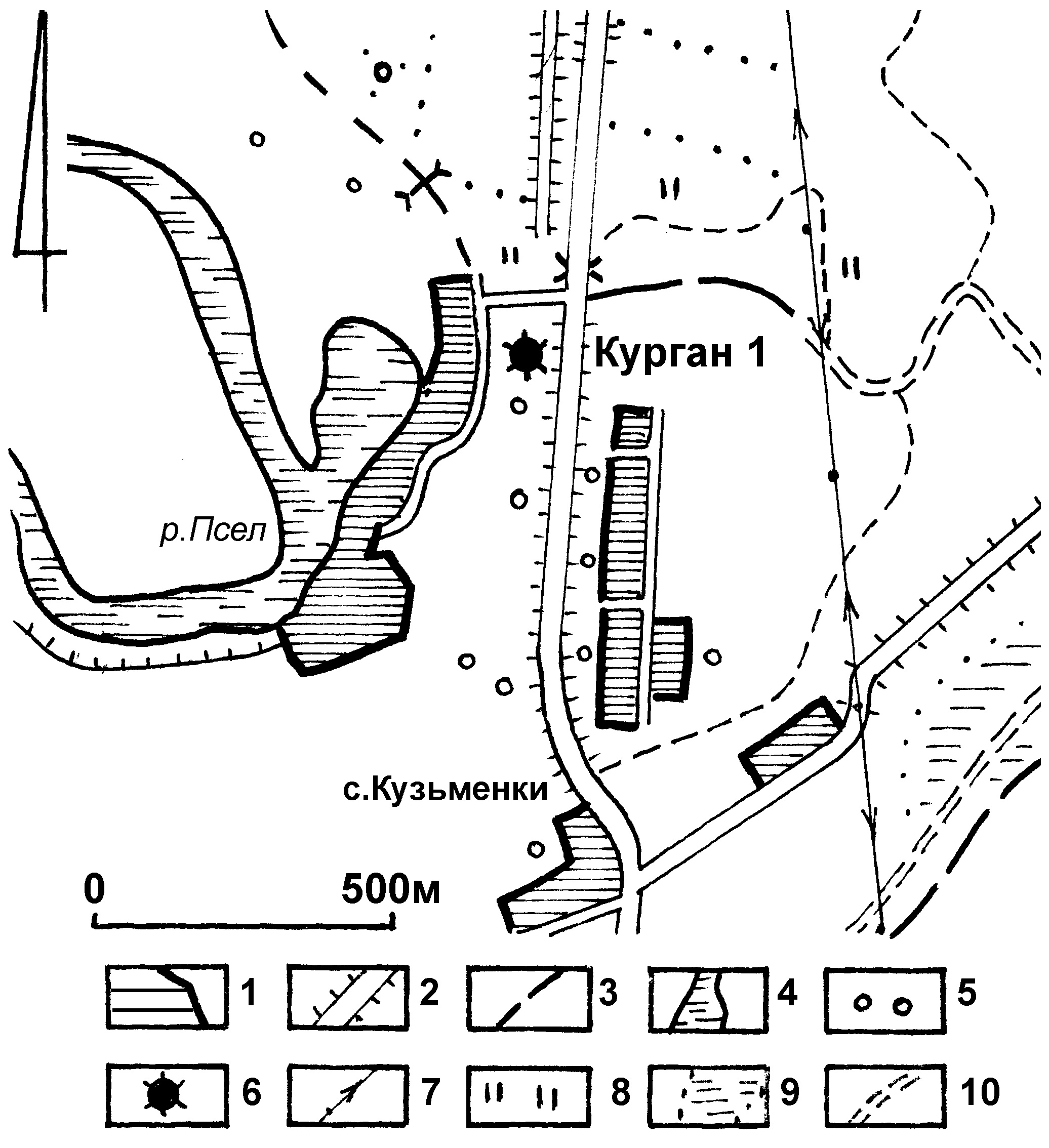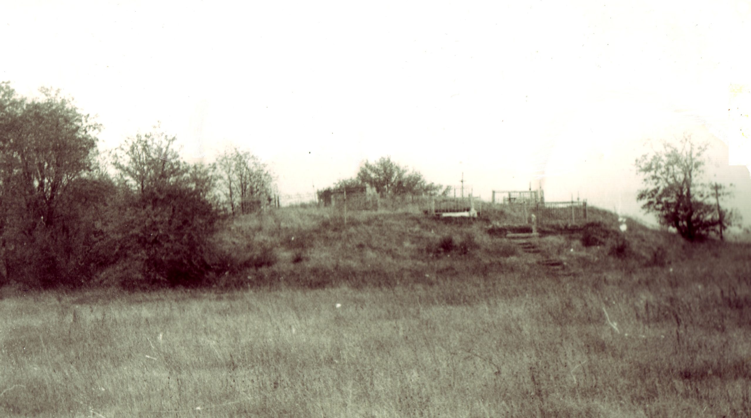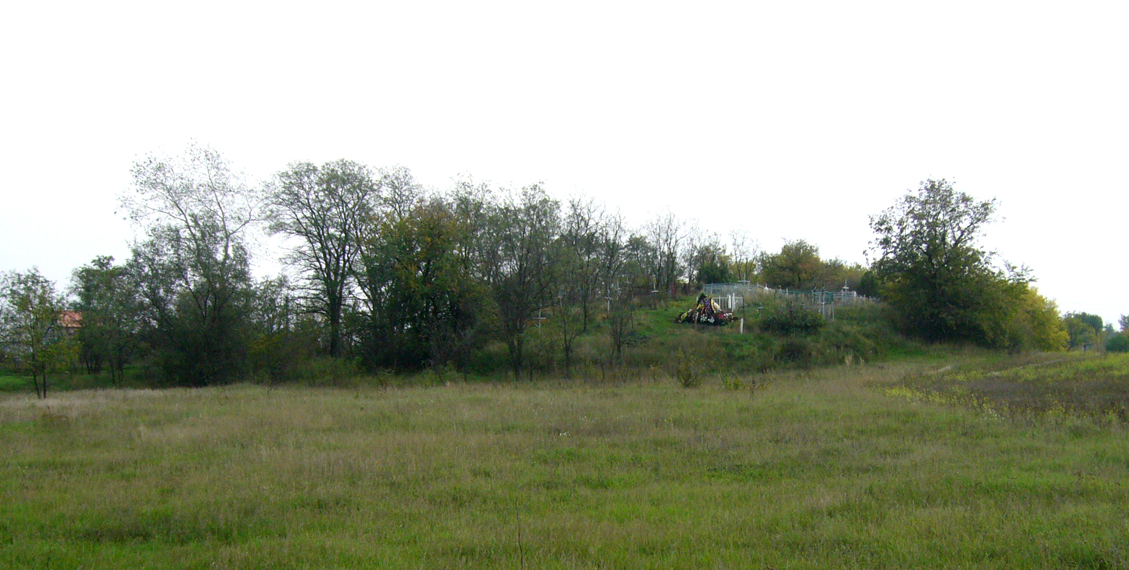
It is located near Kuzmenky village, Dmytrivka Village Council, Horishni Plavni City Council, on the north-western edge, on the cemetery, to the south of the turn to the “Levada” recreation centre, 4.57 km to the north of the Executive Committee building of Dmytrivka Village Council.
Dimensions (height x diameter): 5.25x43x45 m System coordinates (WGS-84): N (latitude) 49º9’5.55”; E (longitude) 33º36’51.20”.
4th – 2nd millennium BC, the Chalcolithic Age – the Bronze Age.
The kurgan was surveyed by H.M. Nekrasova in 1986 (junior researcher at the Institute of Archaeology of the USSR Academy of Sciences, exploration on archaeological layer compilation of the “Collection of Historical and Cultural Sites” in Poltava region), O.B. Suprunenko and V.V. Sherstiuk in 2006, 2008 and 2010.
Пам’яткоохоронна інформація
Monument protection information
Пам’ятка археології місцевого значення.
Наказ Міністерства культури України № 228 від 27.03.2013, додаток 3, п. 22.
охоронний номер 4685-Пл.
666kurgan-klad.pngПам’ятка археології місцевого значення.
Наказ Міністерства культури України № 228 від 27.03.2013, додаток 3, п. 22.
охоронний номер 4685-Пл.
666kurgan-klad.pngФотогалерея
Gallery